


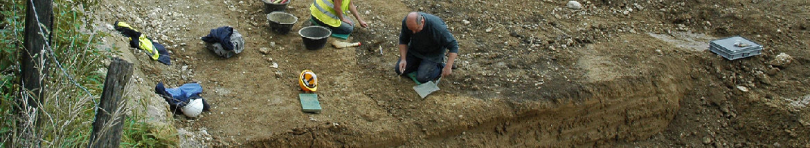
Four sites located along the path of the A 16 motorway within the Ajoie region were excavated by the " Section d'archéologie de l'Office du patrimoine historique " (Canton of Jura) between 1989 and 1995. Segments of a roman road discovered at each of these locations appear to belong to the same thoroughfare which linked the Swiss plateau (and, further to the South, Italy) to the Rhine valley via the Pierre-Petruis pass. The four sites - Pré au Prince, Noir Bois and Pré Monsieur in the district of Alle, Sous Hermont in the district of Porrentruy - all lie on the floodplain of the Allaine river, a few kilometers to the north of the Jura mountain range.
Several segments of the road were excavated along the 3km of its course that are known, exposing it over a total length of 610 m. The same construction method was observed everywhere (chap. 2.1): a 6,5-6,7m wide cobblestone foundation, consisting of limestone slabs placed on edge, was covered with a layer of packed gravel and was drained on each side by a ditch. Insofar as the local topography permits, the road is straight and lies on the border and slightly above the floodplain, being thus largely protected from floods. Traces of road repairs could be observed in several places. The most spectacular example, dating from the second half of the 1st and the beginning of the 2nd century AD, consists of a series of successive gravel fills with a total thickness of 95 cm at most, stabilized on each side by an embankment (chap. 2.1.3.2). These efforts to heighten the roadbed were limited to a 70m long stretch of the road, where it dips into a natural depression and was exposed to occasional flooding. A path bordering this zone is interpreted as a " detour " used when the road was flooded or being raised. Other types of repairs have also been observed (chap. 2.1.3.3). They are in general only found in direct association with damaged areas. The older repairs are of good quality, later efforts become more haphazard.
The relatively abundant artefacts associated with the road allow us to date its construction to the reign of Claudius (around 40/ 50 AD) and the end of its regular use to the first half of the 4th century (chap. 2.1.5.1). Its strategic importance is emphasized by the fact that its construction (as well as that of an station found at Noir Bois) was undertaken under the auspices of the imperial administration and was undoubtedly subsidized by the State. The road did not only serve as a connection between the Swiss plateau and the Rhine frontier, but was also part of Claudius' road-building program, which was linked to the conquest of Britain and the extensive north-south traffic which flowed from it. The discovery of four early medieval tombs, deliberately placed next to the road, indicates that it was still visible at this time. The section between Alle and Porrentruy might still have been in use at this period, although no other early medieval (or indeed later) finds have been observed in this context.
A way station found at Noir Bois represents another important discovery, this type of site having only very rarely been found in Gaul or in the Germanic provinces (chap. 2.2.1). The partially excavated establishment borders onto the northern ditch of the road and consists of the remains of several wooden buildings, placed within a 70m wide quadrangular enclosure. The function of the buildings remains unclear, due in part to the mediocre conservation of the archaeological layer. It seems however likely that they represent lodgings (for the staff and perhaps for soldiers and officials), sheds, stables - in short, the necessary infrastructure of a roadside inn. Two atypically shaped hearths, of the kind usually thought to have been used as corn drying ovens, were actually the remains of forges. Several elements demonstrate the military character of the establishment (chap. 2.2.1.4), without however indicating whether it was a mutatio (station for changing horses) or a mansio (horse-changing station with eating and sleeping facilities). The rather high percentage of vessels associated with drinking among the pottery points towards a mansio. While it is true that the inn found at Alle in no way resembles the monumental guesthouses of Augst, Pompei and other towns, this may be due to the urban character of these mansiones, quite different from rural establishments. Several guest-houses excavated in Britain had an early " rustic " phase for several decades before being transformed into " first class " accommodations with stone buildings, baths and hypocausts. As the roadside inn of Alle was suddenly abandoned around 70/80 AD, it could not profit from a similar modification (chap. 2.2.1.3). Founded during the reign of Augustus, the way station (of uncertain size) must have stood next to an earth track already used by the imperial post (chap. 2.1.5.2). During the reign of Claudius, this track became a highway; the station was rebuilt and surrounded by a quadrangular enclosure at the same time. It was probably abandoned after Vespasian's victory at the Agri Decumates in 73/74, when the empire's borders were extended eastwards. From that point on, the strategic importance of the road must also have declined.
About 120 m to the east of the inn, traces of a small wooden building were found between the southern edge of the road and the parallel ditch, thus on public ground (chap. 2.2.2). Pottery sherds and coins found in this area indicate that the structure was in use from about 260/270 to 335 AD. These are perhaps the remains of an outpost of the highway police, built here because of an increase of the strategic value of the road due to the invasions of the late 3rd and 4th centuries.
Two paths - apparently privately built - were seen to branch off the road at Noir Bois (chap. 2.2.4) and at Pré au Prince (chap. 2.2.5). They probably link the thoroughfare to a nearby property now under excavations (the rural settlement of Les Aiges), a rather unusual discovery in rural Gaul.
The finds associated with the various structures have also provided important information, sometimes of a rather original cast. The celtic TVRONOS-CANTORIX coins found at these sites are for instance the only pieces of this type known from the Canton of Jura (chap. 3.1).
The hundreds of iron objects found on the roadbed derive mostly from transportation equipment, thus allowing a new appraisal of a relatively poorly known class of artefacts (chap. 3.3-3.5). Analysis of the pottery has indicated links to the Basel region and to neighboring France, but the existence of a regional pottery production could also be demonstrated. It should also be noted that a black, hand-formed and comb-decorated cooking ware of La Tène type continued to be used from Augustan times until the beginning of the 4th century, apparently without interruption.
In chapter 4, the place of the road within the regional transport network is discussed. A number of longstanding hypotheses, dating from the 19th century, are rejected after critical examination, and the junction of the Pierre-Pertuis road is placed at Glovelier and not at Tavannes. This route has the advantage of reaching Basel without crossing the mountainous territory around Moutier by following a valley road for some 25 km, the whole journey being of equal length.
Translation: Robert Fellner

CAJ 8 - Abstract
 Imprimer


Copyright © jura.ch - 2024